Introduction
Live Earth Satellite maps 3D is a versatile app that lets users explore the world through stunning 3D globe views and virtual tours of destinations. It offers GPS navigation, route planning for driving, walking, or cycling, and a GPS map camera to capture moments with location details. Packed with tools like a compass, area calculator, and FM radio, it also shares info on landmarks, weather, and time zones, plus a fun globe quiz. Perfect for travelers and curious explorers alike.
Features
3D globe views and virtual tours of global destinations
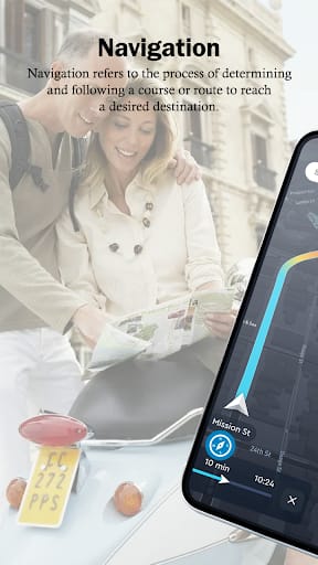
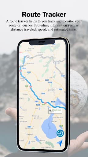
GPS navigation and route planning for driving, walking, and cycling
GPS map camera to capture images with location/weather details
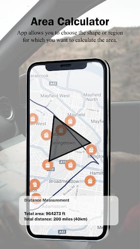
Tools: compass, area calculator, and FM radio
Landmark info, weather, time zones, and geography quiz
FAQs
What can I explore? 3D globes, virtual tours, and landmark details.
Does it help with navigation? Yes, plans routes for driving, walking, cycling.
What tools are included? Compass, area calculator, and FM radio.
Can I learn geography? Yes, it has a globe quiz to test knowledge.
Conclusion
Live Earth Satellite maps 3D is your ultimate companion for exploring the world, whether you’re traveling or staying home. With 3D views, navigation tools, and fun extras like a geography quiz, it blends utility and curiosity seamlessly. From planning trips to discovering landmarks, it caters to all your exploration needs.